Pamiri Girl
Bulunkul, Tajikistan




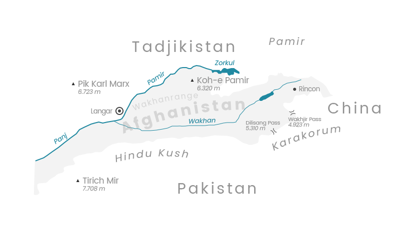
Named after the Wakhan River, which flows at elevations between 2,700 and 4,000 meters, this region lies in the far eastern reaches of Afghanistan, nestled between Tajikistan to the north and Pakistan to the south.
A relic of the Great Game, the Wakhan Corridor was established as a buffer zone between the British Empire and the Russian Empire.


The eastern part of Gorno-Badakhshan is dominated by the high plateaus of the Pamir, the “original” Roof of the World. At average elevations between 3,600 and 4,400 meters, only a few areas are permanently settled. Murghob, founded as the Pamirsky Post during the era of the Great Game by the Russian Tsarist Empire, was once the most important stronghold in the struggle for supremacy with Great Britain.
Karakul, with the village of the same name on the border with China, represents the northeasternmost settlement in the Tajik Pamir.


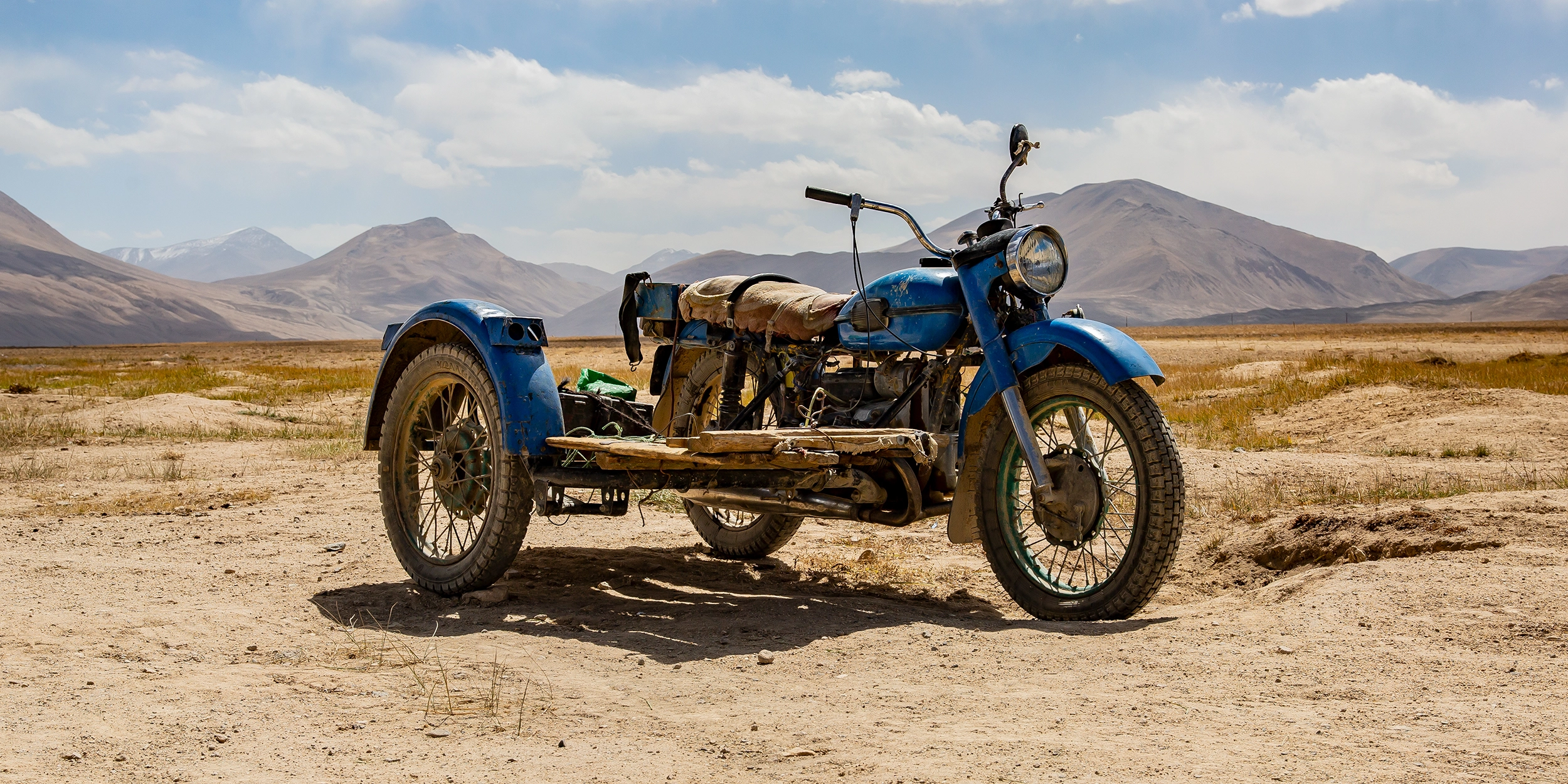
Set in a basin at 3,800 meters, surrounded by the 4,000- and 5,000-meter peaks of the Pamir, the village of Bulunkul lies on the shores of the lake that shares its name. This is Central Asia’s cold pole, where temperatures can plunge to −60°C.
The inhabitants of this small village all practice pastoralism. Cattle and, above all, yaks are sustained by the sparse vegetation along the lake’s shores. In this harsh high-mountain world, the cohesion of the community is essential for survival.


As part of the Mid-Atlantic Ridge, the Azores archipelago marks the boundary between the North American and Eurasian plates.
A subtropical paradise shaped by mild winters, cool summers, and isolation in the heart of the Atlantic, it has given rise to a distinct flora and fauna.
Up to 38 whale species are found in the waters surrounding the archipelago’s nine islands, whose history remained closely tied to whaling until the 1980s.


Like the Azores, Iceland lies on the Mid-Atlantic Ridge. Volcanic and geothermal activity bear witness to the immense power of the mantle plume beneath the island.
Water and volcanism shape the landscape of this sparsely populated land at every turn. Bubbling hot springs, Europe’s most powerful waterfalls, and its largest glaciers—reaching thicknesses of up to 1,000 meters—define the island’s dramatic character.
Despite its raw and austere terrain, Iceland supports a rich and vibrant fauna, both on land and at sea. Countless seabirds find ideal nesting grounds along its cliffs, while numerous whale species pass the island on their migrations between the tropics and the Arctic.


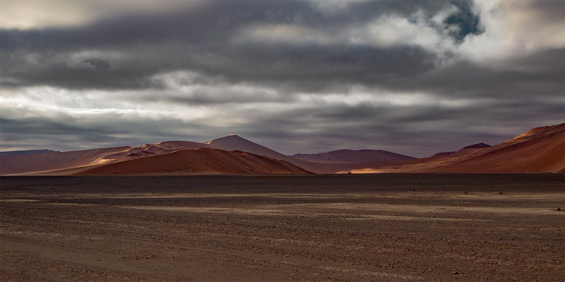
Countless geological features shape this southern African country on the Atlantic coast. Among them are the Namib Desert in the east, considered the oldest desert on Earth at around 80 million years, and the Fish River Canyon in the south, plunging up to 550 meters deep and ranking as the second-largest canyon in the world.
Especially during the rainy season, the country—second only to Mongolia as the most sparsely populated on Earth—reveals a more vibrant character. In the Etosha National Park, largely free of tourists at this time of year, the landscape becomes a nursery of life. Young gazelles, zebras, and antelopes dominate the scene, while with patience and luck, lions, elephants, giraffes, hyenas, and more may also be observed.



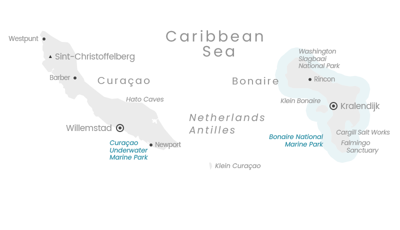
The islands of Bonaire and Curaçao, part of the Lesser Antilles and located off the coast of Venezuela, still offer numerous hotspots for divers.
Yet the differences between them are striking. The sparsely populated island of Bonaire, surrounded by the Bonaire National Marine Park—protected since 1979—offers abundant opportunities to dive on intact coral reefs, dominated by massive elkhorn and staghorn corals.
By contrast, comparatively little has been done on Curaçao to preserve the underwater environment, a reality that is clearly reflected in the deteriorating condition of the island’s reefs.